Linkedin Learning – Extraordinary Drone Shots And How To Get Them
English | Tutorial | Size: 921.82 MB
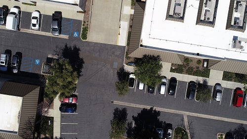
Drones have become a standard tool for shooting aerial photography and videography.

Linkedin Learning – Extraordinary Drone Shots And How To Get Them
English | Tutorial | Size: 921.82 MB

Start Learning Drone Security
English | Tutorial | Size: 4.2GB

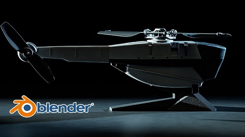
Udemy – BLENDER – Learn how to create the military Black Hornet drone by Mrawan Hussain
English | Tutorial | Size: 8.9GB


Lynda – Learning Pix4D Drone Mapping
English | Tutorial | Size: 1.9GB